 PREMIER
| Manage Express account |
| Upload a file |
| Forums |
| Utilities |
| Downloads |
| Search |
| Help |
| Real Aviation |
| Site map |
| Design |
| Links |
| Contact Us |
| Using This Site |

 |
|
|
 |
|
|
 |
|
|
 |
|
|
 |
|
|
 |
|
|
 |
|
|
 |
|
|
 |
|
|
|
||
| PREMIER
|
|||||||||||||||||||||||||||||||||||
|
|
|||||||||||||||||||||||||||||||||||
|
|
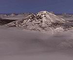
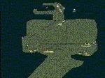
Scenery Page 72 | |||||||||||||||||||||||||||||||||
|
|||||||||||||||||||||||||||||||||||