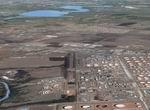
78.15Mb (890 downloads)
Paulinia, Sao Paulo, Brazil, Photo Realistic Scenery Package Part 4. By Gilson Augusto Rocchetti
Posted Mar 26, 2009 16:49 by Gilson Augusto Rocchetti
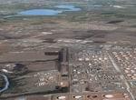
78.15Mb (863 downloads)
Paulinia, Sao Paulo, Brazil, Photo Realistic Scenery Package Part 3. By Gilson Augusto Rocchetti
Posted Mar 26, 2009 16:05 by Gilson Augusto Rocchetti
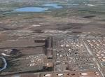
78.15Mb (916 downloads)
Paulinia, Sao Paulo, Brazil, Photo Realistic Scenery Package Part 2. By Gilson Augusto Rocchetti
Posted Mar 26, 2009 15:25 by Gilson Augusto Rocchetti
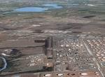
78.15Mb (1001 downloads)
Paulinia, Sao Paulo, Brazil, Photo Realistic Scenery Package Part1. By Gilson Augusto Rocchetti
Posted Mar 26, 2009 15:24 by Gilson Augusto Rocchetti
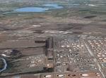
1.29Mb (992 downloads)
Paulinia, Sao Paulo, Brazil, Photo Realistic Scenery Package Base Pack. By Gilson Augusto Rocchetti
Posted Mar 26, 2009 13:48 by Gilson Augusto Rocchetti

0.58Mb (1486 downloads)
FSX Acceleration USS Idaho Scenery Object
This is a native FSX Acceleration model of the battleship USS Idaho. It is a scenery object equiped with a accurate model of the P-6 catapult for use with single float sea planes using the rcbco-30 gauges (not included) for catapult launch. It has an obstuction light, rotating radar antenna, .dds day and night textures. The catapult and large guns have a bit of a specular shine. It is located in Long Beach, Ca. harbor. The necessary files to relocate it with Bglcomp or programs such as Instant Scenery are included. By: Paul Clawson
Posted Mar 26, 2009 02:55 by Paul Clawson
1.13Mb (1246 downloads)
FSX California Military Airport Updates. Stock airports updated are: (ICAO-L23 Pahute Mesa Army Test Facility Nevada.) (ICAO-BYS Fort Irwin AAF Armory California.)
(ICAO-0CL8 Tera bone yard California.) (ICAO-TNX Tonopah Missile Test Range(noflyzone) Nevada.)
Nav aids are found in the simulators map.
Posted Mar 26, 2009 02:53 by Uploader
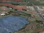
78.15Mb (1314 downloads)
Americana, Sao Paulo, Photoreal Scenery Part 3. Photo Realistic Scenery of a fine country in Brasil, called
Americana, located in Sao Paulo state, and near Campinas city. Part 3 of 3. Gilson Augusto Rocchetti
Posted Mar 25, 2009 11:24 by Gilson Augusto Rocchetti
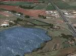
78.15Mb (1286 downloads)
Americana, Sao Paulo, Photoreal Scenery Part 2. Photo Realistic Scenery of a fine country in Brasil, called
Americana, located in Sao Paulo state, and near Campinas city. Part 2 of 3. Gilson Augusto Rocchetti
Posted Mar 25, 2009 11:09 by Gilson Augusto Rocchetti
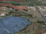
27.30Mb (1556 downloads)
Americana, Sao Paulo, Photoreal Scenery Part 1. Photo Realistic Scenery of a fine country in Brasil, called
Americana, located in Sao Paulo state, and near Campinas city. Part 1 of 3. Gilson Augusto Rocchetti
Posted Mar 25, 2009 10:32 by Gilson Augusto Rocchetti


